Becky Cole-Will, chief of resource management for Acadia National Park, gets a close up look at the wreckage of the schooner Tay at Sand Beach on Friday, January 12, 2024. The schooner, which wrecked and then washed up on Acadia's Sand Beach in 1911, was entirely covered with sand for years but was exposed again by high surf in a storm on Wednesday, January 10.
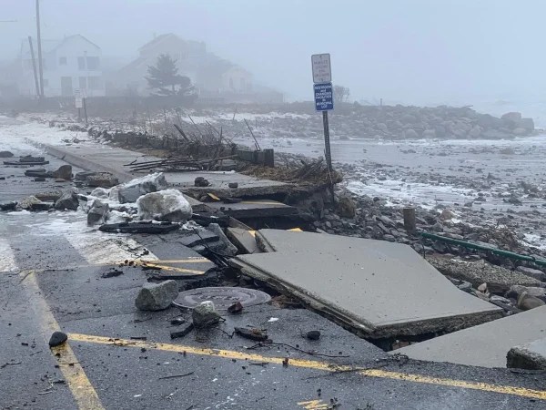
A powerful storm left towns flooded along Maine’s coast Saturday, destroying buildings and breaking high tide records.
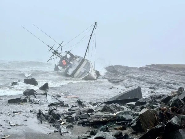
The heaviest damage was seen in the Portland area, where historic fishing houses were swept away in the storm surge and a fishing boat was forced aground.
Here are some of the most striking photos of the storm and its aftermath.
A pier owned by the Mount Desert Land and Garden Preserve in Northeast Harbor angles steeply into the water on Friday, January 12, 2024, after being blown off its piling in a storm two days before that brought flooding and heavy surf to coastal Maine. Maine’s coast was hit by two storms three days apart that heavily damaged houses, roads and other infrastructure along the coast. Credit: Bill Trotter / BDN
A picnic table at the Seawall picnic area in Acadia National Park is partially buried under stones on Saturday, January 13, 2024, after two storms three days apart pounded and flooded Maine’s coast. Credit: Bill Trotter / BDN
Two people walk along the Seawall section of Route 102A on Mount Desert Island in Maine Saturday, January 13, 2024. The scenic road is among many places spread along Maine’s coast that were severely damaged this week in two storms three days apart. Credit: Bill Trotter / BDN